PLANER
Ground Plane Removal
Abstract
To improve orchard management, tree heights can be extracted from digital elevation models (DEMs)—raster height maps where pixel intensity represents ground height. DEM data can be collected via drones. Ground plane removal involves extracting tree heights from DEMs by subtracting the absolute height of tree canopies from the height of the ground beneath them. As tree canopies occlude the ground in DEMs, ground height must be estimated, through ground estimation. Tree segmentation is used to determine areas of occlusion and DEM generation is required for testing—only height data is used.
This project has investigated the extraction of tree height from DEMs, with success dependant on the types of DEMs used—low-noise images performed better. We found that height resolution of DEMs plays a large factor in the accuracy of ground plane removal.
Videos 1
Watch presentations, demos, and related content
Video demonstration of the 3 parts of the project
Like, comment, and subscribe on YouTube to support the creator!
Video demonstration of the 3 parts of the project
Gallery 6
Explore the visual story of this exhibit
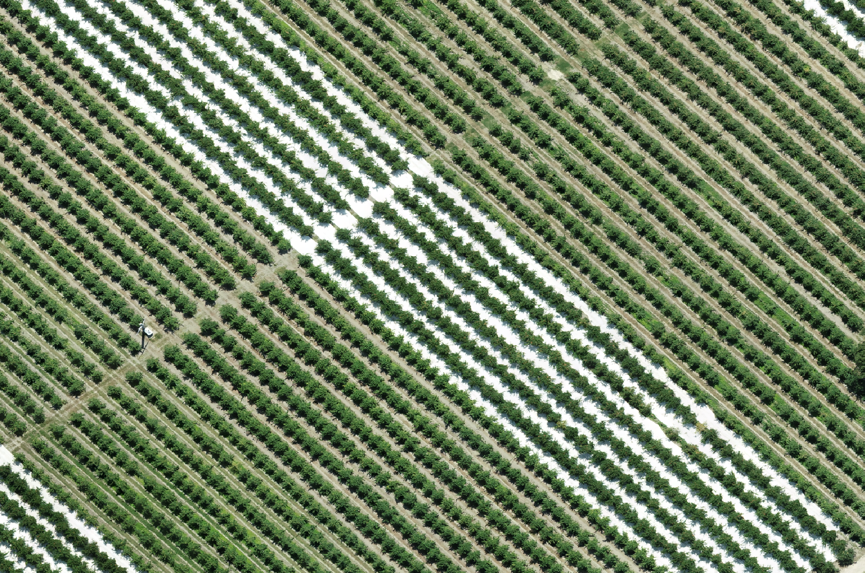
Visible spectrum aerial photograph of an orchard

DEM of an orchard
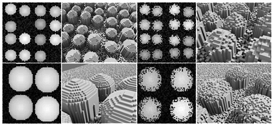
Greyscale images of generated DEMs represented in 2D with visualizations in 3D. These show how the tree orchards would look in a 3D environment
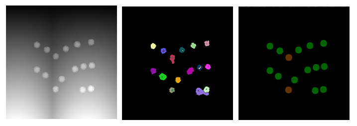
Image comparisons of the original DEM (left) versus the watershed result (middle) and the evaluation of the ground estimation result (right). Colours in the right image indicate average height difference from the ground estimation results
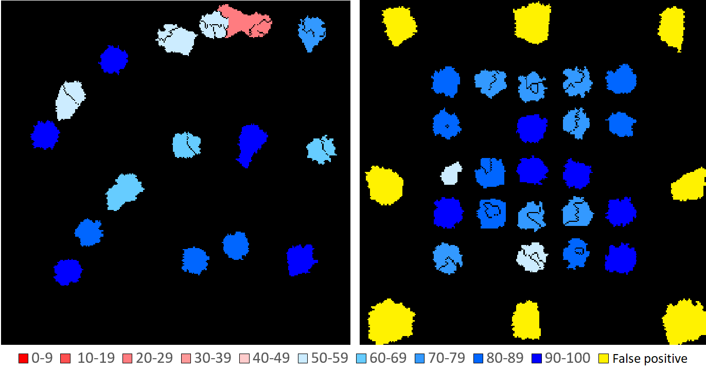
Results from tree segmentation showing the IOU percentage obtained per tree (see legend) for the contour (left) and small-hilled (right) terrain
Project poster